Client:
Bouyges Traveux Publics, CEDD
Bouyges Traveux Publics, CEDD link opens in a new tab
Past to Present, East to West
Trunk Road T2 is a segment of Route 6, a major trunk road in Hong Kong’s strategic road network. Together with the Central Kowloon Route (We are involved) and Tseung Kwan O – Lam Tin Tunnel (We are involved too), Route 6 provides an east-west express link between West Kowloon and Tseung Kwan O. The scope of the project comprises a dual two-lane trunk road of approximately 3.4 km in length, two ventilation buildings and their associated infrastructures.
Bouygues Travaux Publics has been awarded the contract for the construction of Trunk Road T2, ED/2018/04. The construction methods utilised for this project includes Tunnel Boring Machine (TBM) excavation, cut-and-cover, drill-and-break, and drill-and-blast.
Taking a Look See
Sixense provided InSAR monitoring at Cha Kwo Ling Village. This solution is an InSAR data processing chain developed by our in-house experts, designed to highlight the vertical displacement of reflective points between different satellite images.
The 400-years-old Cha Kwo Ling Village would potentially be impacted by the works during the TBM operations, which was running directly underneath. The small, sometimes self-built houses in the village are starting to show their age. On top of that, the land ownership of the village is extremely complex. Implementing a conventional manual monitoring system would therefore have been a lengthy and ineffective process, not to mention the disturbance it would cause to the villagers.
Peace of Mind
The Atlas InSAR solution is a completely remote monitoring method. Analysing a time series of satellite images, the system monitors the ground surface deformation. The vertical displacement can be as precise as 2-3 mm using our algorithm. The measurement interval relies on the satellite visiting frequency, i.e. 11 days for TerraSAR-X used in this project. Made available on Sixense’s Beyond Monitoring platform and stored on the cloud, the data is made available to our client anytime, anywhere.
This remote sensing solution completely eliminated the need to visit the site on a regular basis, keeping interventions to the village and its residents minimal. Now, the safety of their homes is ensured without drilling holes on their walls, or frequent visits by people in Hi-Vis jackets.
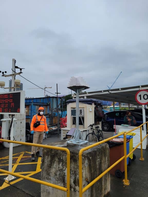
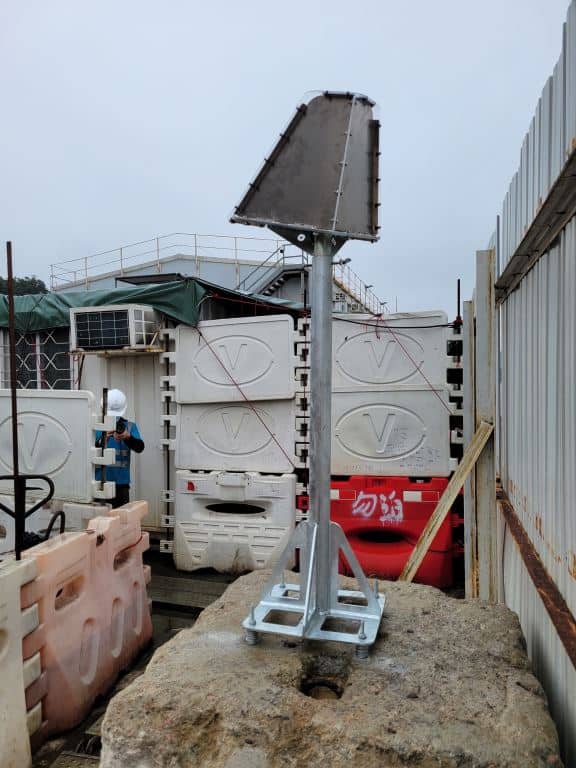
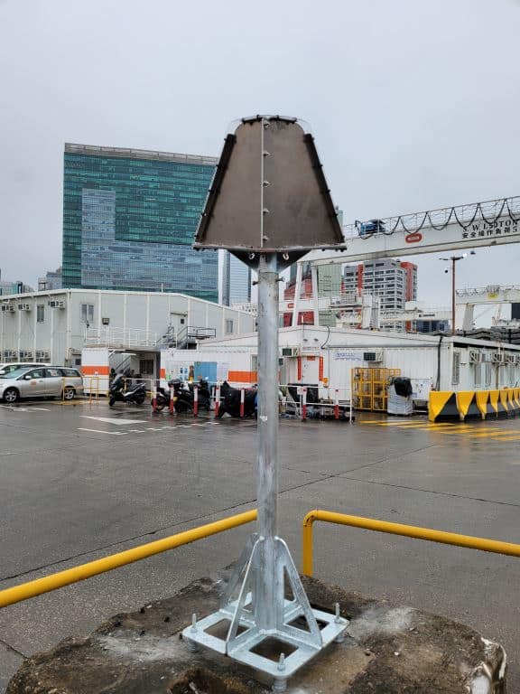
Images of the project
Points monitored per square km
Satellite images analysed


