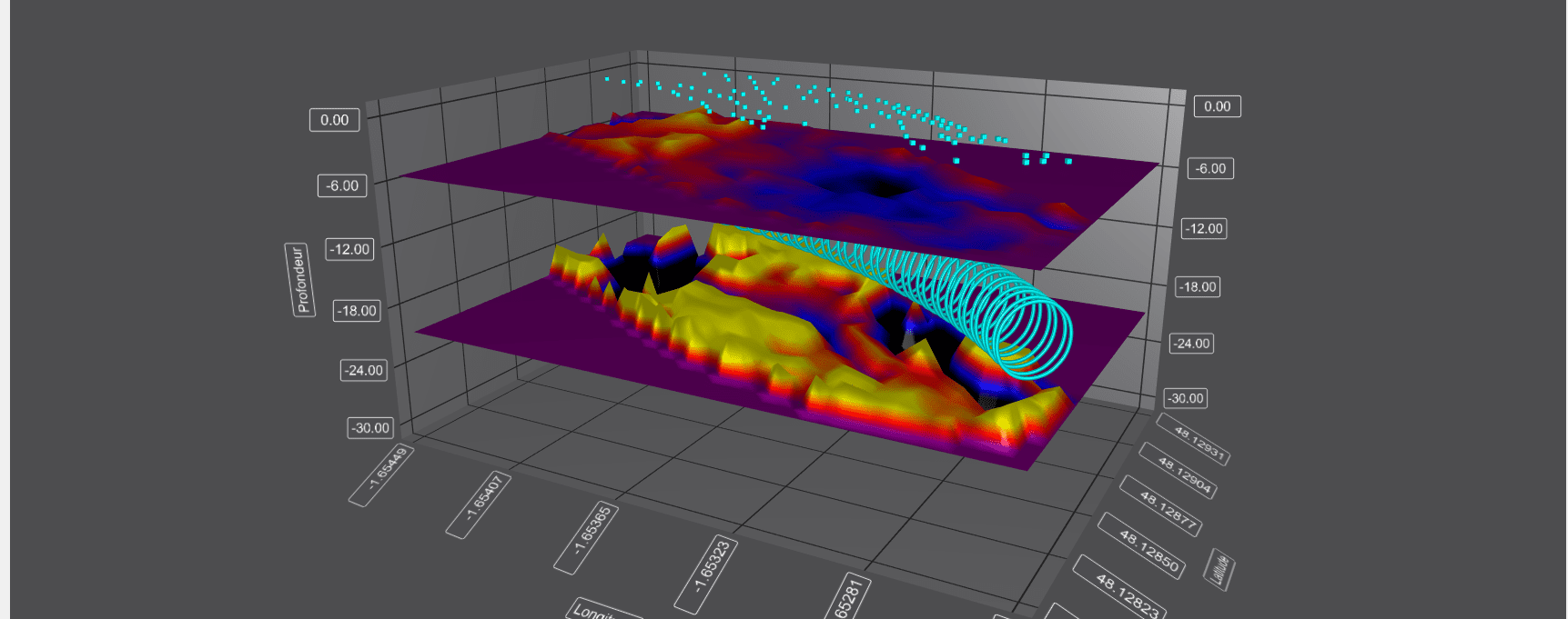
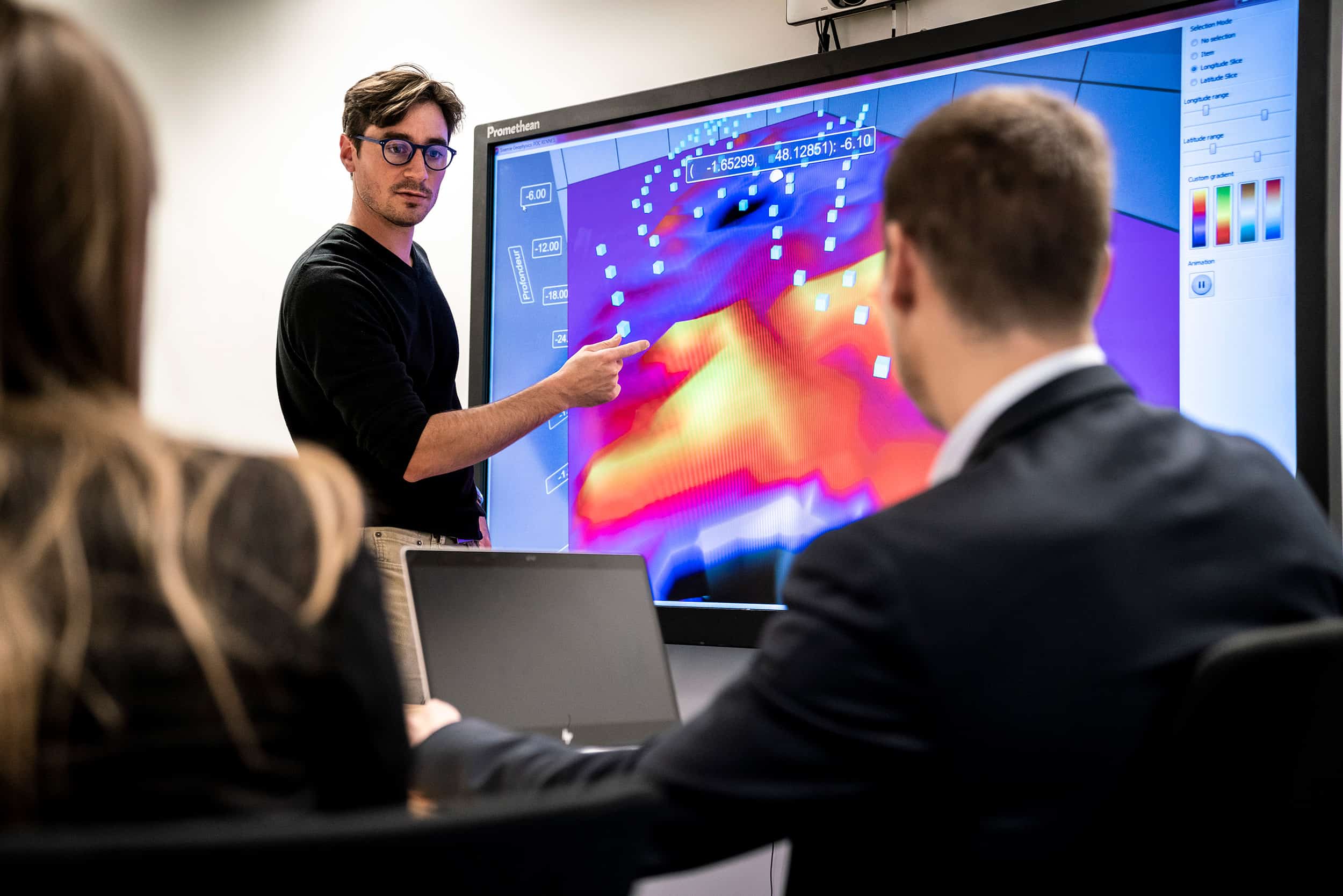
An innovation from the academic field and the world of Oil & Gas, Sissterra is a non-destructive, easy-to-deploy solution allowing 3D visualisation of subsoils in order to:
- Consolidate the geological model: manage associated risks
- Optimise the progress of underground works: anticipate and adjust construction methods
- Optimise the costs of soil improvement work: delimitation of areas to be treated and assessment of treatments
A turnkey solution for 3D underground imaging in restricted environments
Sissterra is a unique passive seismic solution using ambient noise generated by human activity to image the subsoil and monitor dynamic changes beneath the surface. It ensures:
- Optimisation of surface and underground work
- Protection of the safety of property and persons
- Facilitation of decision-making
Sissterra reduces the number of boreholes and avoids active seismic sources – a real advantage when conducting investigations in dense and difficult to access areas.
Finally, a comprehensive geological model
The interesting innovation provided by Sissterra lies in its passive technique and its speed of implementation on specific points. Using Sissterra gave us a better vision of the geology and allowed us to adjust our assumptions and therefore our excavation parameters. This successfully eliminated settling in the area.
Lionel Suquet, Project Director of Line 15 T3C package Grand Paris,
VINCI Construction Grands Projets
A single point of contact for the entire value chain
Our experts master the entire value chain and can advise you at every stage:
- Analysis of challenges and objectives, decisions regarding acquisition parameters
- Data acquisition, processing, visualisation (2D and 3D) and analysis of results
- Decision support (complete diagnostics, risk assessment and recommendations)
Operating principle
Sissterra is based on the principle of correlation of ambient seismic noise (seismic interferometry).
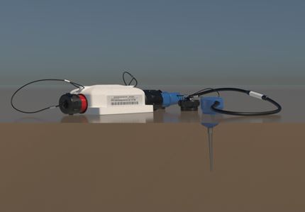
This ambient noise, generated by surrounding human activities for instance, is captured using a dense network of autonomous geophones installed in the study area.
The large volume of data collected by these sensors, guaranteeing the technical robustness of the solution, is then transferred to our computing servers where it goes through a series of signal processing stages. With help from the resources of VINCI Construction’s R&D unit, these steps have been optimised from both a hardware and software perspective to obtain the best quality in the shortest possible time.
As an output, the solution makes it possible to offer 3D visualisation (seismic tomography) of the subsoil over a given period, as well as an ability to monitor changes to it over time (seismic monitoring) while keeping the acquisition device active.


