Client:
Nam Theun Power Company
Nam Theun Power Company link opens in a new tab
NAM THEUN 2 – AN ASSET TO PROVIDE PROTECTION FROM
NATURAL HAZARDS
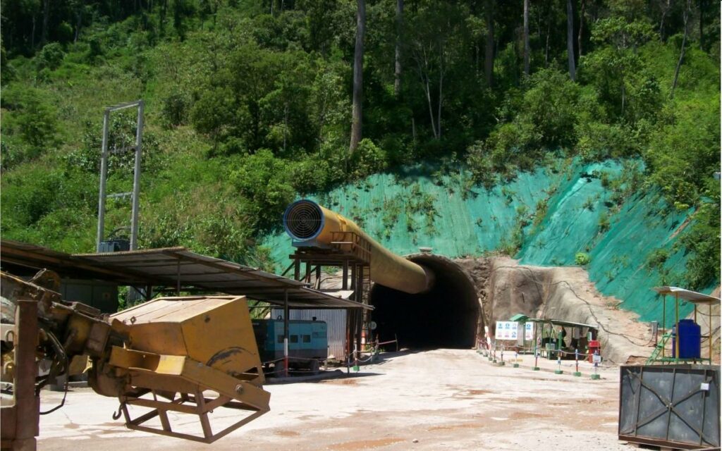
As per part of the specifications for the investigation of the emergency spillway on the downstream channel of Nam Theun 2 Dam, Lao PDR, SIXENSE were appointed by NTPC and the geotechnical consultant EDF/TEGG to conduct a surface based geophysical survey to detect the presence of cavities and assess the existing condition of the dyke at a location subject to sinkhole phenomena. The bank of the channel at the spillway location is an embankment dam, lying on a karstified limestone foundation. To ensure the stability of the dyke, and to design future strengthening works, the depth and location of existing features must be known as they may present a risk to the infrastructure.
A MULTI-METHOD EVALUATION OF THE DAM CONDITION
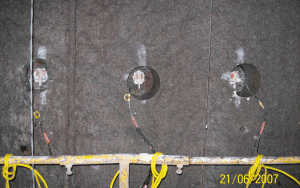
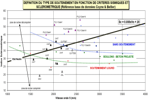
A large pool of geophysical techniques were utilised to precisely map the internal structure and the foundation of the dam including aquatic techniques to investigate the river bed condition. The Nam Theun 2 is a major infrastructure of the electricity supply network in South East Asia. Such condition surveys are essential to anticipate further maintenance works and maintain electricity production at its highest, and guarantee the safety of population living downstream of the hydraulic infrastructure.
Images of the project
Microgravity Stations
Meters of 2D Electrical Resistivity Imaging
Stations 1D MASW
Meters of 2D Seismic Imaging
Meters of Aquatic GPR
Similar projects


